Site Location: Lat.: 50° – 5’ – 4” N.; Long.: 96° – 56’ – 36” W. (GPR: 50.084313, -96.9433363). From Portage and Main in Winnipeg, take Main Street north for 8.9 km, where it becomes Provincial Trunk Highway (PTH) 9. Continue north on PTH 9 for 17.3 km and turn right (east) on Highway 44. Continue 1.5 km on Highway 44, to the centre of the dam structure.
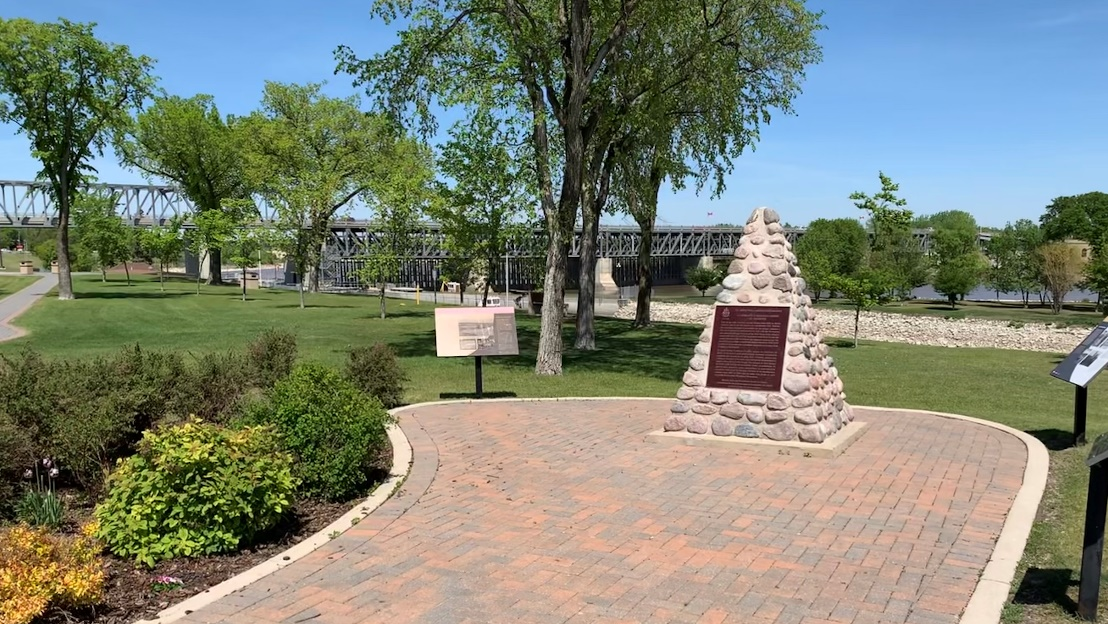
Plaque Location: The plaque is mounted on the backside of a stone cairn, situated in a nice park setting off PR 238 at the south west end of the lock and Dam structure. (GPR: 50.0822339, -96.9423063). From the centre of the St. Andrew’s Lock and Dam structure drive west on PTH 44 for approximately 550m, turn left onto PR 238, follow PR 238 for approx. 100m, turn left at Stevens Avenue to keep on PR 238, and continue for another 400m to the intersection with River Road. Turn left (north) onto River Road: the park is immediately to the right. Parking is available along River Road.
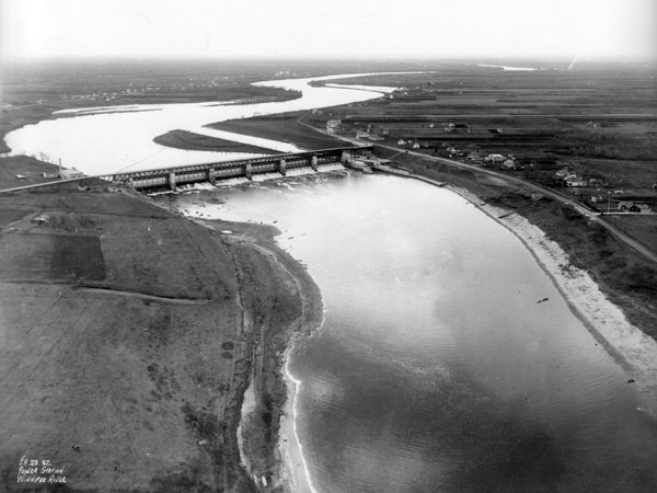
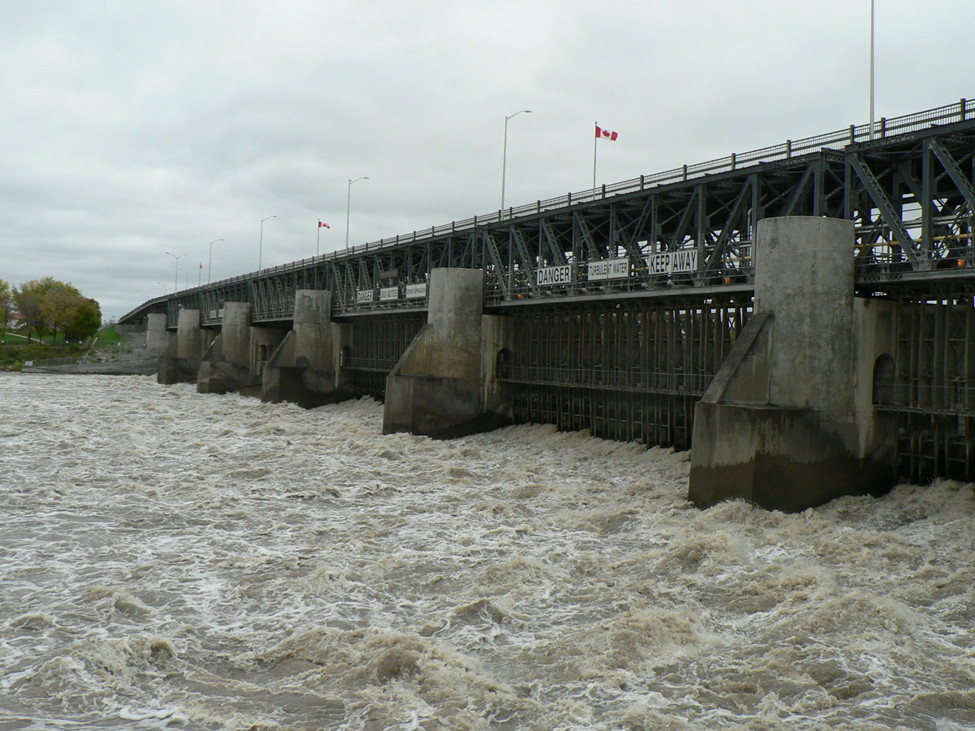
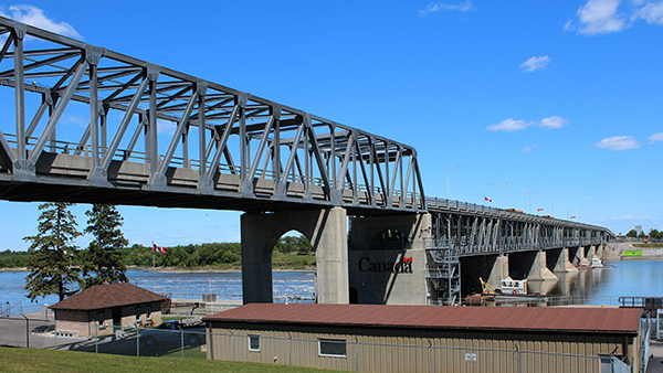
Description: The St. Andrew’s Lock and Dam aids navigation around the Lister Rapids, where the Red River drops 4.6 m (15 ft.) over a 16 km (10 mi.) distance. The 270 m (885 ft.) dam is a “Camere” style, that originated in France, with the capability of opening its gates rapidly to respond to changes in the river flow. To the west of the dam is the St. Andrews Lock, which is 11 m (36 ft.) deep, 62 m. (200 ft.) long and 13.7 m. (45 ft.) wide. The facility was designed by E. A. Forward and H. E. Vantelet, of the federal Department of Public Works, and the construction, between 1900 and 1910, was supervised by A.R. Dufresne.
Historic Significance: This facility controls the flow of the Red River and so permitted boat traffic to pass between Winnipeg and Lake Winnipeg. A shipbuilding boom occurred in Winnipeg in preparation for the volume of water transport business expected. The Winnipeg fleet included the Winnitoba, which carried Prime Minister Laurier to officially open the St. Andrews Lock on May 4, 1910. The lock is the only one on the prairies, and is designed with automatic self-balancing valves from which the lock could be filled and emptied, the largest of this type in the world at that time. The dam is the largest of its type in the world.

Plaque Wording: National Historic Civil Engineering Site. CSCE. A tribute to the engineers who designed and supervised the construction of ST. ANDREW’S LOCK AND DAM. A. R. Dufresne E. A. Forward H. E. Vautelet. Canadian Society for Civil Engineering. 1990.
SCGC. Site Historique National de Génie Civil. Un homage aux ingénieurs qui ont conçu et dirigé la construction de L’ÉCLUSE ET DU BARRAGE DE ST. ANDREW’S. 1900-1910 Construction. A. R. Dufresne E. A. Forward H. E. Vautelet. Société canadienne de genie civil. 1990.
Plaque Unveiling Ceremony: The plaque was unveiled on July 15, 1991, in conjunction with the 80th Anniversary of the locks. A number of members of CSCE journeyed to Lockport on a river boat in company with Dr. George Johnson, Lieutenant-Governor of Manitoba, where a group of actors re-enacted the original opening of the lock by Sir Wilfred Laurier. The Lieutenant-Governor and CSCE President Keith Bowers unveiled the plaque.
Links to Online Documentation:
Red River North Heritage, “Controlling the Rapids: Building Lockport’s Dam and Lock”.
Manitoba Historical Society, “Historic Sites of Manitoba: St. Andrews Camere Curtain Dam and Lock”.
Hartwell Bowsfield, “St. Andrews Locks”, Manitoba Pageant, 1966.