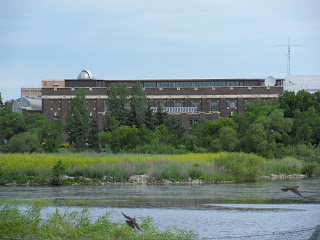
Site Location: Lat.: 50° – 25’ – 59” N; Long.: 104° – 35’ – 47” W. (GPS: 50.4329518, -104.5963372). 2903 Powerhouse Drive, Regina. From the intersection of Trans Canada Highway 1 and Highway 33 (the Ring Road), drive 2.1 km West on E. Victoria Ave. Turn left (south) on Winnipeg Street following it, after 1.4 km, as turns left (east) and becomes 19th Ave. 150 metres after the turn, turn right (south) on Atkinson Street, which becomes Powerhouse Drive. The powerhouse is on the right.
Plaque Location: The plaque is believed to be in storage at the Saskatchewan Science Centre.
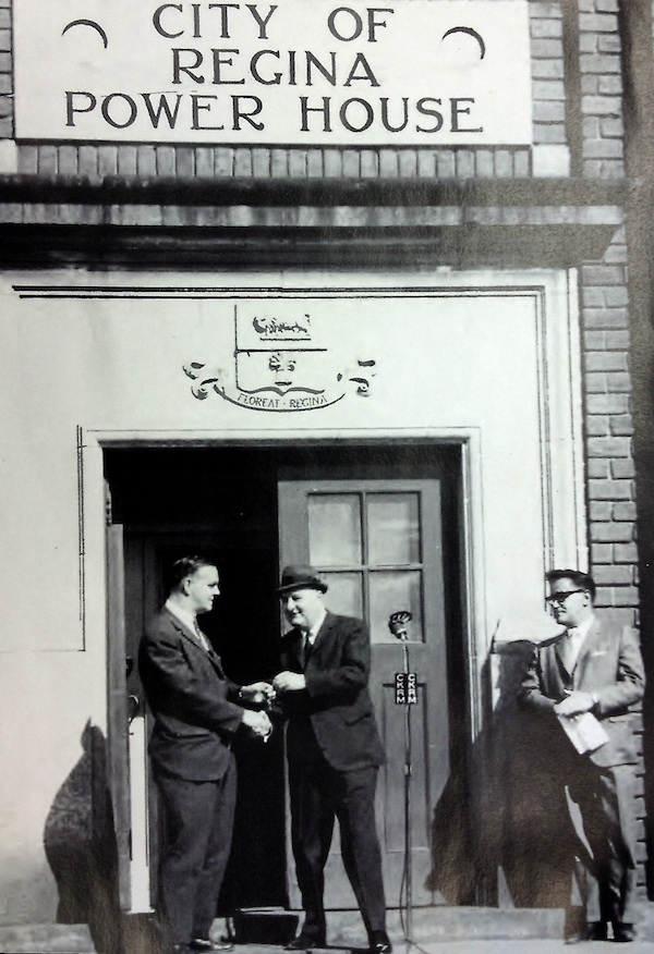
Description: The population of the City of Regina grew from 2249 in 1903, the year of incorporation, to 30,213 in 1911. This coal-fired generating plant, completed in 1914, met the growing demand for electrical power. Edmund Bull, who had worked at the old power house, and Louis A. Thornton, a City Commissioner and former City Engineer, were key players in bringing the new plant to the City. The construction firm of Smith Brothers & Wilson Ltd. received a contract for $90,800 to complete the work, which ended up $25,000 over budget. The building is now the home of the Saskatchewan Science Centre.

Historic Significance: The plant is one of the oldest original buildings representing the adoption of coal-fired electrical power generation in Canada. The city administration desired that the building “be an ornament to the shores of Wascana Lake, which will one day be the beauty spot of the city.” The Regina architectural firm of Storey and Van Egmond achieved this by trimming the exterior with decorative white limestone and Romanesque windows — unusual features for such a utilitarian building.
Link to online documentation:
Cathy Lynn Borbely, “Saskatchewan Science Centre (Powerhouse)”, Canadian Civil Engineer, 2015. (See page 10).
“2015 Historic Commemoration – Saskatchewan Science Centre (formerly Regina Power House)”