
Site Location: Lat.: 52 – 8 – 29 N; Long.: 106 – 38 – 39 W. (GPS: 52.1414227, -106.6440736) From Trans-Canada Highway 16, take College Drive/Hwy 5 west for 3.3 km, crossing the South Saskatchewan River. Turn right (north) on Spadina Crescent E, and proceed 1.3 km to the entrance to the weir parking lot, immediately north of Duchess Street, on the right. By bus: Take Route 11 or 12 to the stop at Duchess Street and 7th Avenue. Walk east on Duchess to Spadina Crescent, crossing Wilson Park between 10th Avenue and King Crescent, and follow Riverwalk Boardwalk to the plaque. The CP Rail Bridge is located just downstream of the weir.
Plaque Location: The plaque is mounted on a large boulder on the west side of Riverwalk Boardwalk at the foot of the weir.
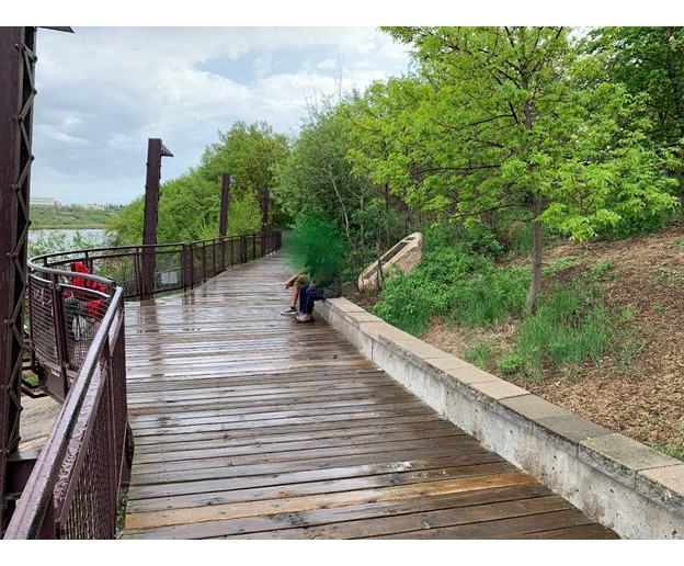
Description: This weir across the South Saskatchewan River at Saskatoon was constructed in 1939 by Poole Construction Co. Ltd. as a depression-era relief project. It was conceived by Municipal Engineer G. D. Archibald and financed by the Prairie Farm Rehabilitation Administration (PFRA). Its functions were to maintain the water depth through the City of Saskatoon and act as a reservoir in times of drought. With the construction of the Gardiner Dam in 1967, the weir was no longer needed to regulate the water flow.
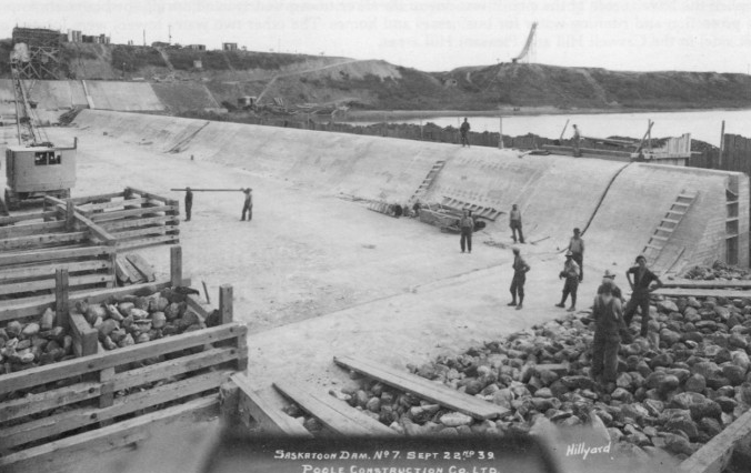
Historic Significance: The Prairie Farm Rehabilitation Administration was established by the R. B. Bennett Government in 1935 to address the widespread drought, farm abandonment and land degradation of the 1930s. The PFRA tree nursery at Indian Head, Saskatchewan distributed free tree seedlings to prairie farmers to promote shelterbelt planting to reduce soil erosion caused by wind. The South Saskatchewan Weir is representative of the many water supply projects promoted and developed by PFRA across the prairies. It remains one of Saskatoon’s most popular visitor attractions for viewing wildlife, including pelicans in the summer, and resting along the Meewasin Valley Trail.
Poole Construction Co. Limited is now PCL Construction, based in Edmonton, and is the second largest contracting organization in Canada.
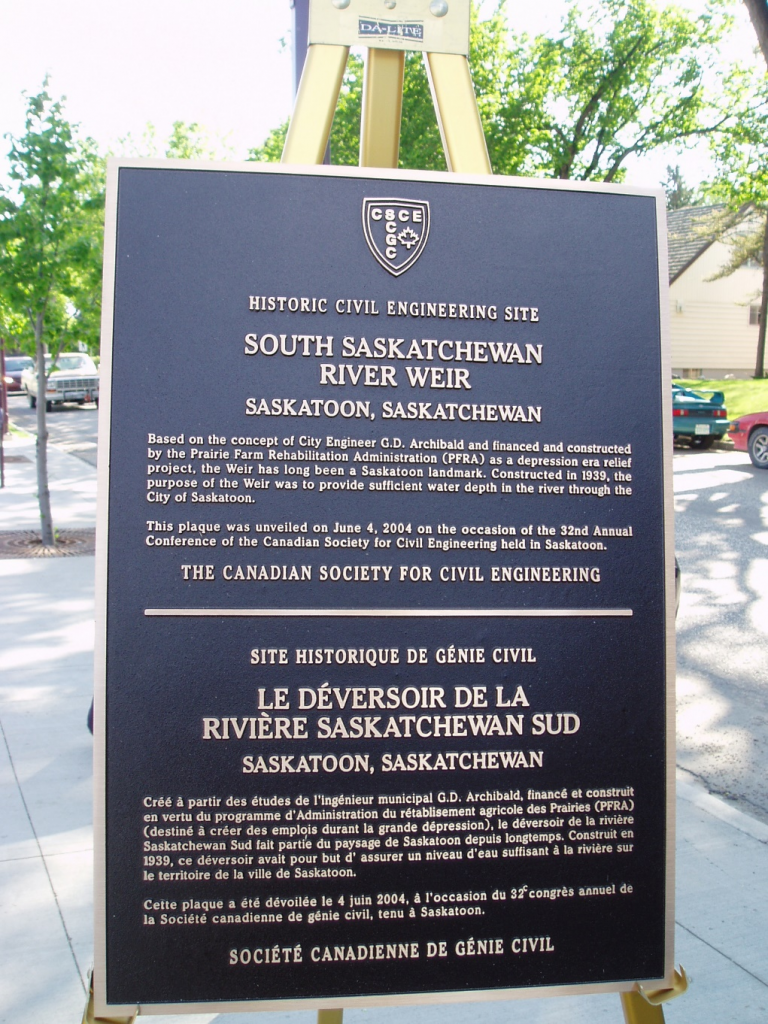
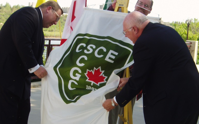
Plaque Wording: CSCE. Historic Civil Engineering Site. SOUTH SASKATCHEWAN RIVER WEIR. Saskatoon, Saskatchewan. Based on the concept of City Engineer G. D. Archibald and financed and constructed by the Prairie Farm Rehabilitation Administration (PFRA) as a depression era relief project, the Weir has long been a Saskatoon landmark. Constructed in 1939, the purpose of the Weir was to provide sufficient water depth in the river through the City of Saskatoon. This plaque was unveiled on June 4, 2004 on the occasion of the 32nd Annual Conference of the Canadian Society for Civil Engineering held in Saskatoon. The Canadian Society for Civil Engineering.
SCGC. Site Historique de Génie Civil. LE DÉVERSOIR DE LA RIVIÈRE SASKATCHEWAN SUD. Saskatoon, Saskatchewan. Créé à partir des études de l’ingénieur municipal G. D. Archibald, finance et construit en vertu du programme d’Administration du rétablisement agricole des Prairies (PFRA) (destine à créer des emplois Durant la grande depression), le déversoir de la rivière Saskatchewan Sud fait partie du paysage de Saskatoon dupuis longtemps. Construit en 1939, ce déversoir avait pour but d’assurer un niveau d’eau suffisant à la rivière sur le territoire de la ville de Saskatoon. Cette plaque a été dévoilée le 4 juin 2004, à l’occasion du 32c congrès annuel de la Société canadienne de genie civil, tenu à Saskatoon. Société canadienne de genie civil.
Plaque Unveiling Ceremony: The plaque was unveiled on site on June 4, 2004.
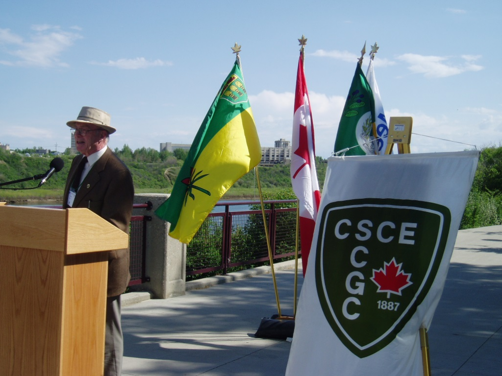

Dignitaries at the plaque unveiling ceremony. Seated, from left: Cliff Smith; David Innes; Don Atchison; Peter Prebble, MLA (Saskatoon Greystone); and Pat Atkinson, MLA (Saskatoon Nutana). Standing, from left: Jim Kells, Chair of the Saskatoon 2004 LOC; Mel Hosain, Honorary Chair of the Saskatoon 2004 LOC; Cal Sexsmith; Don Morgan, MLA (Saskatoon South East); Alistair MacKenzie, Chair of the CSCE National History Committee; Eric Cline, MLA (Saskatoon Massey Place); and, Dick Nieman, Meewasin Valley Authority. (Source: B. Toth)
Link to Online Documentation: